Transform Urban landscapes into Green cities
Discover and transform vacant city spaces into vibrant green areas.
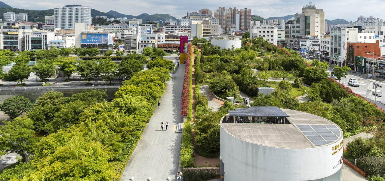
Image Generator for Green Spaces
Compare the current urban landscape with the envisioned green space implemented.
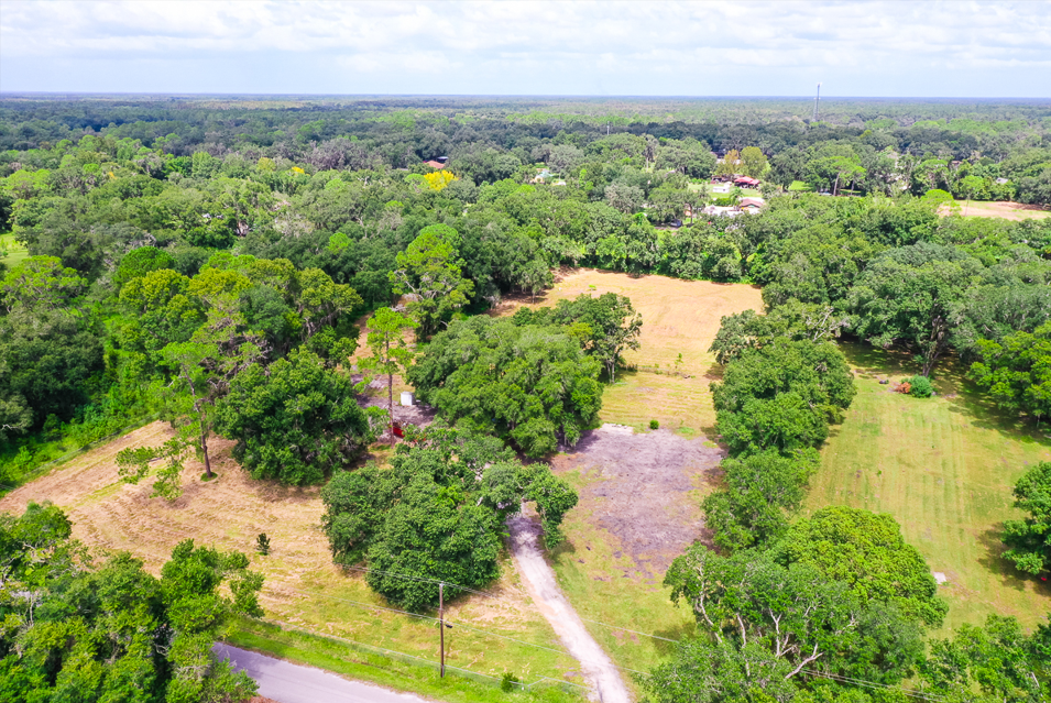
Before Transformation: City with vacant spaces
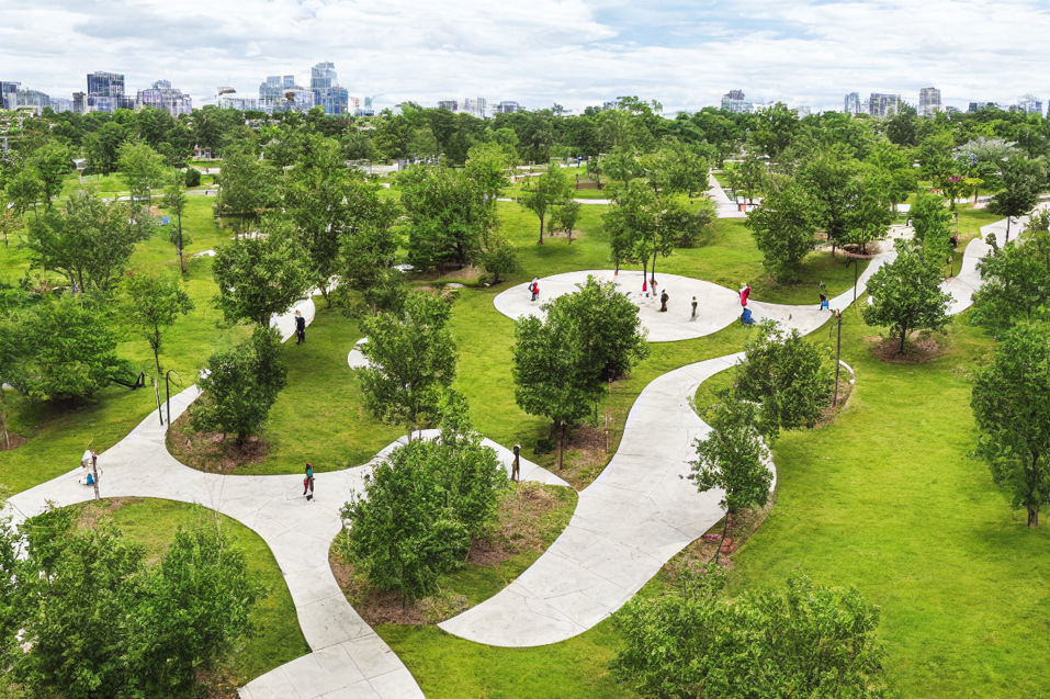
After Transformation implementation: City with Green Spaces
How It Works
Features🌿

Explore City
Enter your city name to access a detailed interactive map. Pan and zoom to explore different areas, and capture images of specific regions for your projects. This tool aids in strategic planning and site selection by providing a granular view of the urban layout.
Explore CityIdentify Vacant Spaces in City
Upload an image of your city and AI detects vacant spaces within it. Gain insights into unused areas and receive detailed reports on space availability and characteristics. This feature supports efficient land management and development planning.
Find Spaces

Visualize Greenery
Upload land images to visualize how green spaces can be developed on your vacant spaces. See transformative previews of potential projects and explore different landscaping options. This visualization assists in better understanding the aesthetic and functional potential of your land.
Visualize Greenery